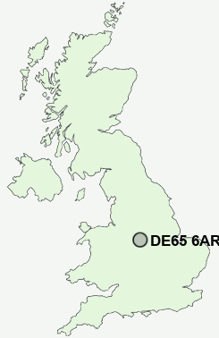
Postcode : DE65 6AR, Findern, Derbyshire
Heath Lane, Findern, Derby.
Classification
DE65 6AR : Hard-pressed living / Industrious communities / Industrious transitions
Local Authority South Derbyshire
Primary Care Trust Derbyshire County
Ward Willington and Findern
Constituency South Derbyshire
Region East Midlands
Country England
Postcode Area DE : Derby
DE65 Postcode Sectors
DE65 6AR Nearby Postcode Districts
DE1 DE11 DE13 DE14 DE15 DE21 DE22 DE23 DE24 DE3 DE65 DE72 DE73 DE74 LE11 LE12 NG1 NG10 NG11 NG7 NG8 NG9 ST14
Stations near to DE65 6AR
Willington Rail Station about 1.19 miles away.DE65 6AR Schools
Findern Primary SchoolWillington Primary School
Stenson Fields Primary Community School
St Wystan's School
Repton Primary School
UK Search
Antique Jewellery
including Antique Engagement Rings for sale from UK Antique specialists.