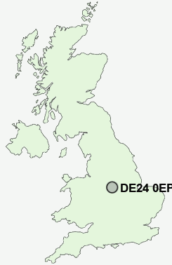
Postcode : DE24 0EP, Alvaston, Derby, Derbyshire
Wyndham Street, Alvaston, Derby.
DE24 0EP close to Alvaston, Boulton, Boulton Moor, Crewton and Shelton Lock.
Classification
DE24 0EP : Hard-pressed living / Migration and churn / Hard-Pressed European Settlers
Local Authority Derby
Primary Care Trust Derby City
Ward Boulton
Constituency Derby South
Region East Midlands
Country England
Postcode Area DE : Derby
DE24 Postcode Sectors
DE24 9 Allenton, Shelton Lock, Sinfin, Sinfin Moor
DE24 8 Alvaston, Crewton, Litchurch, Osmaston, Pride Park
DE24 8 Alvaston, Crewton, Litchurch, Osmaston, Pride Park
DE24 0EP Nearby Postcode Districts
DE1 DE13 DE14 DE15 DE21 DE22 DE23 DE24 DE3 DE6 DE65 DE7 DE72 DE73 DE74 NG1 NG10 NG11 NG12 NG2 NG3 NG4 NG7 NG8 NG9
Stations near to DE24 0EP
Spondon Rail Station about 1.62 miles away.Peartree Rail Station about 1.66 miles away.
Derby Rail Station about 2.02 miles away.
DE24 0EP Schools
Oakwood Junior SchoolAlvaston Junior School
Alvaston Infant and Nursery School
Lakeside Community Primary School
Chellaston Junior School
Rosehill Infant and Nursery School
UK Search
Antique Jewellery
including Antique Engagement Rings for sale from UK Antique specialists.