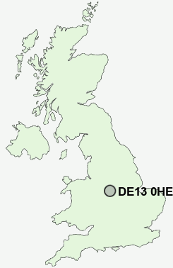
Postcode : DE13 0HE, Stretton, Staffordshire
Church Road, Stretton, Burton upon Trent.
DE13 0HE close to Stretton and Horninglow.
Classification
DE13 0HE : Suburbanites / Semi-detached suburbia / White suburban communities
Local Authority East Staffordshire
Primary Care Trust South Staffordshire
Ward Stretton
Constituency Burton
Region West Midlands
Country England
Postcode Area DE : Derby
DE13 Postcode Sectors
DE13 9 Alder Moor, Anslow, Anslow Gate, Callingwood, Fauld
DE13 7 Alrewas, Fradley Junction, King's Bromley, Lupin, Orgreave
DE13 7 Alrewas, Fradley Junction, King's Bromley, Lupin, Orgreave
DE13 8 Barton Gate, Barton Green, Barton Turn, Barton-under-Needwood, Bond End
DE13 0 Beam Hill, Horninglow, Outwoods, Stretton
DE13 0 Beam Hill, Horninglow, Outwoods, Stretton
DE13 0HE Nearby Postcode Districts
DE1 DE11 DE13 DE14 DE15 DE21 DE22 DE23 DE24 DE3 DE65 DE72 DE73 DE74 LE65 NG10 NG9 ST14 WS15
Stations near to DE13 0HE
Burton-on-Trent Rail Station about 2.35 miles away.DE13 0HE Schools
William Shrewsbury Primary SchoolEton Park Junior School
John of Rolleston Primary School
Horninglow Infants' School
Lansdowne Infants' School
Victoria Community School
UK Search
Antique Jewellery
including Antique Engagement Rings for sale from UK Antique specialists.