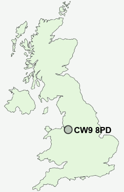
Postcode : CW9 8PD, Moulton, Cheshire West And Chester, Cheshire
School Lane, Moulton, Northwich.
CW9 8PD close to Moulton, Davenham and Mere Heath.
Classification
CW9 8PD : Suburbanites / Semi-detached suburbia / White suburban communities
Local Authority Cheshire West and Chester
Primary Care Trust Central and Eastern Cheshire
Ward Davenham and Moulton
Constituency Eddisbury
Region North West
Country England
Postcode Area CW : Crewe
CW9 Postcode Sectors
CW9 6 Anderton, Antrobus, Arley, Arley Green, Bate Heath
CW9 7 Broken Cross, Higher Shurlach, Lach Dennis, Lostock Gralam, Lostock Green
CW9 7 Broken Cross, Higher Shurlach, Lach Dennis, Lostock Gralam, Lostock Green
CW9 8PD Nearby Postcode Districts
CH1 CH2 CH3 CH65 CW10 CW11 CW12 CW4 CW6 CW7 CW8 CW9 SK10 SK11 WA16 WA6
Stations near to CW9 8PD
Hartford Rail Station about 1.92 miles away.Greenbank Rail Station about 2.02 miles away.
Winsford Rail Station about 2.5 miles away.
Northwich Rail Station about 2.75 miles away.
CW9 8PD Schools
The County High School LeftwichKingsmead Primary School
Hartford Manor Primary School & Nursery
Hartford Primary School
UK Search
Antique Clocks
Browse Antique Clocks for sale from British antique dealers.