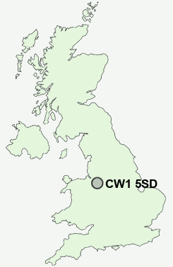
Postcode : CW1 5SD, Congleton, Cheshire East, Cheshire
The Dingle, Haslington, Crewe.
CW1 5SD close to Sandbach, Haslington, Slaughter Hill, Sydney and Winterley.
Classification
CW1 5SD : Suburbanites / Semi-detached suburbia / White suburban communities
Local Authority Cheshire East
Primary Care Trust Central and Eastern Cheshire
Ward Haslington
Constituency Crewe and Nantwich
Region North West
Country England
Postcode Area CW : Crewe
CW1 Postcode Sectors
CW1 5SD Nearby Postcode Districts
CW1 CW10 CW11 CW12 CW2 CW5 CW6 CW7 ST1 ST13 ST2 ST5 ST6 ST7 ST8 ST9 SY14
Stations near to CW1 5SD
Crewe Rail Station about 1.93 miles away.Sandbach Rail Station about 3.08 miles away.
CW1 5SD Schools
The Dingle Primary SchoolHaslington Primary School
Hungerford Primary School
Sir William Stanier Community School
Monks Coppenhall Primary School
Wheelock Primary School
UK Search
Antique Clocks
Browse Antique Clocks for sale from British antique dealers.