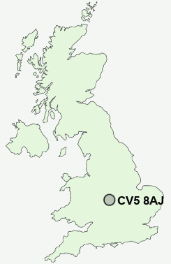
Postcode : CV5 8AJ, Coventry, West Midlands
Overdale Road, Coventry.
CV5 8AJ close to Lower Eastern Green, Chapel Fields and Canley.
Classification
CV5 8AJ : Hard-pressed living / Migration and churn / Hard-Pressed European Settlers
Local Authority Coventry
Primary Care Trust Coventry Teaching
Ward Whoberley
Constituency Coventry North West
Region West Midlands
Country England
Postcode Area CV : Coventry
CV5 Postcode Sectors
CV5 8AJ Nearby Postcode Districts
B1 B10 B11 B12 B13 B14 B15 B16 B18 B19 B2 B21 B25 B26 B27 B28 B29 B3 B30 B33 B34 B36 B37 B38 B4 B40 B46 B47 B48 B5 B6 B7 B8 B9 B90 B91 B92 B93 B94 CV1 CV12 CV2 CV21 CV22 CV23 CV3 CV4 CV5 CV6 CV7 CV8 LE17
Stations near to CV5 8AJ
Canley Rail Station about 0.79 miles away.Coventry Rail Station about 1.82 miles away.
Tile Hill Rail Station about 2.08 miles away.
CV5 8AJ Schools
Templars Primary SchoolMoseley Primary School
Charter Primary School
Coundon Court School and Community College
The Westwood School - A Technology College
Tile Hill Wood School and Language College
The Woodlands School
Barr's Hill School and Community College
Hill Farm Primary School
UK Search
Antique Clocks
Browse Antique Clocks for sale from British antique dealers.