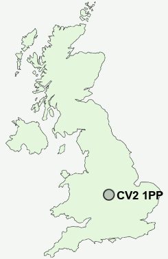
Postcode : CV2 1PP, Alderman's Green, Coventry, West Midlands
Alderman's Green Road, Coventry.
CV2 1PP close to Alderman's Green, Foxford, Manor House, Wood End and Hawkesbury.
Classification
CV2 1PP : Hard-pressed living / Migration and churn / Hard-pressed ethnic mix
Local Authority Coventry
Primary Care Trust Coventry Teaching
Ward Longford
Constituency Coventry North East
Region West Midlands
Country England
Postcode Area CV : Coventry
CV2 Postcode Sectors
CV2 1PP Nearby Postcode Districts
B10 B11 B23 B24 B25 B26 B27 B28 B33 B34 B35 B36 B37 B40 B46 B7 B76 B8 B9 B90 B91 B92 B93 B94 CV1 CV10 CV11 CV12 CV2 CV21 CV22 CV23 CV3 CV4 CV5 CV6 CV7 CV8 LE10 LE17
Stations near to CV2 1PP
Bedworth Rail Station about 2.33 miles away.Coventry Rail Station about 3.54 miles away.
CV2 1PP Schools
John Shelton Community Primary SchoolWheelwright Lane Primary School
St Giles Junior School
Wyken Croft Primary School
UK Search
Antique Clocks
Browse Antique Clocks for sale from British antique dealers.