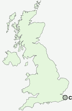
Postcode : CT17 0LB, Dover, Kent
Saint Radigunds Road, Dover.
CT17 0LB close to Buckland, Tower Hamlets, Crabble and River.
Classification
CT17 0LB : Hard-pressed living / Migration and churn / Young hard-pressed families
Local Authority Dover
Primary Care Trust Eastern and Coastal Kent
Ward St Radigunds
Constituency Dover
Region South East
Country England
Postcode Area CT : Canterbury
CT17 Postcode Sectors
CT17 0LB Nearby Postcode Districts
CT14 CT15 CT16 CT17 CT18 CT19 CT20 CT21 CT4 TN25
Stations near to CT17 0LB
Dover Priory Rail Station about 0.87 miles away.Kearsney Rail Station about 1.35 miles away.
CT17 0LB Schools
White Cliffs Primary College for the ArtsAstor College for the Arts
Priory Fields School
Shatterlocks Infant School
St Martin's School
Vale View Community School
Barton Junior School
Dover Grammar School for Girls
River Primary School
Archers Court Maths and Computing College
Aycliffe Community Primary School
Whitfield Aspen School
UK Search
Antique Clocks
Browse Antique Clocks for sale from British antique dealers.