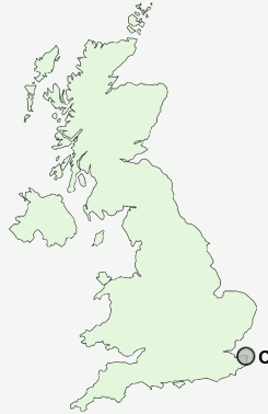
Postcode : CT11 7AJ, Ramsgate, Kent
Ramsgate, Kent.
Classification
CT11 7AJ : Hard-pressed living / Hard pressed ageing workers / Ageing rural industry workers
Local Authority Thanet
Primary Care Trust Eastern and Coastal Kent
Ward Sir Moses Montefiore
Constituency South Thanet
Region South East
Country England
Postcode Area CT : Canterbury
CT11 Postcode Sectors
CT11 7AJ Nearby Postcode Districts
CT1 CT10 CT11 CT12 CT13 CT2 CT3 CT5 CT6 CT7 CT8 CT9
Stations near to CT11 7AJ
Dumpton Park Rail Station about 0.26 miles away.Ramsgate Rail Station about 0.66 miles away.
Broadstairs Rail Station about 1.22 miles away.
Margate Rail Station about 3.46 miles away.
CT11 7AJ Schools
Newlands Primary SchoolEllington School for Girls
Bromstone Primary School, Broadstairs
The Hereson School
Clarendon House Grammar School
Dame Janet Community Junior School
Upton Junior School
The Marlowe Academy
The Marlowe Academy
Chilton Primary School
UK Search
Antique Clocks
Browse Antique Clocks for sale from British antique dealers.