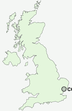
Postcode : CO11 2UZ, Bradfield, Essex
Bradfield, Manningtree, Essex.
CO11 2UZ close to Bradfield, Bradfield Heath and Mistley Heath.
Classification
CO11 2UZ : Rural residents / Farming communities / Established farming communities
Local Authority Tendring
Primary Care Trust North East Essex
Ward Bradfield, Wrabness and Wix
Constituency Harwich and North Essex
Region Eastern
Country England
Postcode Area CO : Colchester
CO11 Postcode Sectors
CO11 2UZ Nearby Postcode Districts
CO1 CO11 CO12 CO13 CO14 CO2 CO3 CO4 CO6 CO7 CO8 IP10 IP11 IP9
Stations near to CO11 2UZ
Mistley Rail Station about 1.73 miles away.CO11 2UZ Schools
Bradfield Primary SchoolMistley Norman Church of England Voluntary Controlled Primary School
Wix and Wrabness Primary School
UK Search
Antique Clocks
Browse Antique Clocks for sale from British antique dealers.