Postcode : CM19 5NJ, Essex
Harlow, Essex.
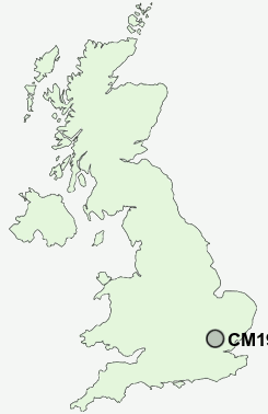
CM19 5NJ close to Great Parndon, Hare Street, Pinnacles and Halls Green.


Classification
CM19 5NJ : Constrained city dwellers / Challenged diversity / Multi-ethnic hardship
Local Authority Harlow
Primary Care Trust West Essex
Ward Great Parndon
Constituency Harlow
Region Eastern
Country England
Postcode Area CM : Chelmsford
CM19 Postcode Sectors
CM19 5NJ Nearby Postcode Districts
AL1 AL10 AL4 AL6 AL7 AL8 AL9 CM1 CM16 CM17 CM18 CM19 CM20 CM21 CM4 CM5 EN10 EN11 EN2 EN3 EN6 EN7 EN8 EN9 SG10 SG12 SG13 SG14 WD7
Stations near to CM19 5NJ
Harlow Town Rail Station about 1.89 miles away.Roydon Rail Station about 1.95 miles away.
CM19 5NJ Schools
Jerounds Community Junior SchoolJerounds Community Primary School
Milwards Primary School and Nursery
Kingsmoor Primary School
Stewards School - Science Specialist, Harlow
Abbotsweld Primary School
Passmores School and Technology College
Peterswood Infant School and Nursery
The Downs Primary School and Nursery
Roydon Primary School
Broadfields Primary School
UK Search
Antique Clocks
Browse Antique Clocks for sale from British antique dealers.