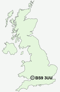
Postcode : BS9 3UU, City Of Bristol, Bristol
Elmlea Avenue, Bristol.
BS9 3UU close to Stoke Bishop, Westbury on Trym, Sea Mills, Eastfield and Sneyd Park.
Classification
BS9 3UU : Urbanites / Ageing urban living / Communal retirement
Local Authority Bristol, City of
Primary Care Trust Bristol
Ward Westbury-on-Trym and Henleaze
Constituency Bristol North West
Region South West
Country England
Postcode Area BS : Bristol
BS9 Postcode Sectors
BS9 3UU Nearby Postcode Districts
BA1 BS1 BS10 BS11 BS13 BS14 BS15 BS16 BS2 BS20 BS21 BS3 BS30 BS31 BS32 BS34 BS36 BS37 BS4 BS41 BS48 BS5 BS6 BS7 BS8 BS9 BS99 GL9
Stations near to BS9 3UU
Sea Mills Rail Station about 1.18 miles away.Clifton Down Rail Station about 1.39 miles away.
Redland Rail Station about 1.47 miles away.
Montpelier Rail Station about 1.81 miles away.
Bristol Temple Meads Rail Station about 2.98 miles away.
Bedminster Rail Station about 3.24 miles away.
BS9 3UU Schools
Elmlea Infant SchoolElmlea Junior School
Henleaze Junior School
Redland Green
Redland Green 16-19
Bishop Road Primary School
Badocks Wood Primary School & Children's Centre
Blaise Primary and Nursery School
Cotham School
Little Mead Primary School
Henbury School
UK Search
Antique Clocks
Browse Antique Clocks for sale from British antique dealers.