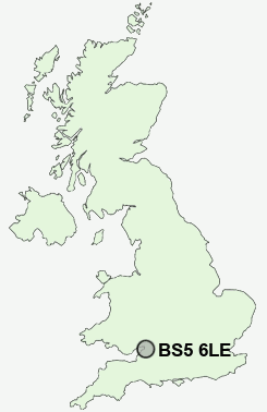
Postcode : BS5 6LE, Easton, City Of Bristol, Bristol
Bristol, City of Bristol.
BS5 6LE close to Easton, Whitehall, Bristol and Clay Hill.
Classification
BS5 6LE : Multicultural metropolitans / Challenged Asian terraces / Asian terraces and flats
Local Authority Bristol, City of
Primary Care Trust Bristol
Ward Eastville
Constituency Bristol East
Region South West
Country England
Postcode Area BS : Bristol
BS5 Postcode Sectors
BS5 6LE Nearby Postcode Districts
BA1 BS1 BS10 BS11 BS13 BS14 BS15 BS16 BS2 BS20 BS21 BS3 BS30 BS31 BS32 BS34 BS36 BS37 BS4 BS41 BS48 BS49 BS5 BS6 BS7 BS8 BS9 BS99 GL9 SN13 SN14
Stations near to BS5 6LE
Stapleton Road Rail Station about 0.47 miles away.Lawrence Hill Rail Station about 0.99 miles away.
Montpelier Rail Station about 1.36 miles away.
Redland Rail Station about 1.8 miles away.
Bristol Temple Meads Rail Station about 1.86 miles away.
Filton Abbey Wood Rail Station about 2.31 miles away.
Bedminster Rail Station about 2.69 miles away.
Bristol Parkway Rail Station about 2.99 miles away.
BS5 6LE Schools
May Park Primary SchoolWhitehall Primary School
Fairfield High School
The City Academy Bristol
The City Academy Bristol
Bristol Metropolitan College
Bristol Brunel Academy
Barton Hill Primary
Hannah More Primary School
Bishop Road Primary School
UK Search
Antique Clocks
Browse Antique Clocks for sale from British antique dealers.