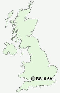
Postcode : BS16 6AL, Mangotsfield, South Gloucestershire, Gloucestershire
Stanbridge Road, Bristol.
BS16 6AL close to Mangotsfield, Staple Hill, Emerson's Green, Blackhorse, Vinney Green and Downend.
Classification
BS16 6AL : Suburbanites / Semi-detached suburbia / Semi-detached ageing
Local Authority South Gloucestershire
Primary Care Trust South Gloucestershire
Ward Rodway
Constituency Kingswood
Region South West
Country England
Postcode Area BS : Bristol
BS16 Postcode Sectors
BS16 7 Blackhorse, Vinney Green
BS16 6 Bromley Heath, Fishponds, Hambrook, Moorend
BS16 1 Broomhill, Eastville, Harry Stoke, Pye Corner, Stapleton
BS16 2 Downend, Frenchay, Ridgeway
BS16 6 Bromley Heath, Fishponds, Hambrook, Moorend
BS16 1 Broomhill, Eastville, Harry Stoke, Pye Corner, Stapleton
BS16 2 Downend, Frenchay, Ridgeway
BS16 9 Emerson's Green, Parkfield, Pucklechurch, Shortwood, Siston
BS16 4 Hillfields
BS16 5 Mangotsfield, Staple Hill
BS16 4 Hillfields
BS16 5 Mangotsfield, Staple Hill
BS16 6AL Nearby Postcode Districts
BA1 BS1 BS10 BS11 BS13 BS14 BS15 BS16 BS2 BS20 BS21 BS3 BS30 BS31 BS32 BS34 BS36 BS37 BS4 BS41 BS48 BS5 BS6 BS7 BS8 BS9 BS99 GL9 SN13 SN14
Stations near to BS16 6AL
Bristol Parkway Rail Station about 2.61 miles away.BS16 6AL Schools
Downend Comprehensive SchoolBlackhorse Primary School
Mangotsfield School
UK Search
Antique Clocks
Browse Antique Clocks for sale from British antique dealers.