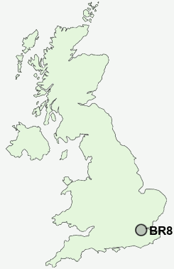
Postcode : BR8 7AY, Swanley, Kent
Sycamore Drive, Swanley.
BR8 7AY close to White Oak, Swanley Village, Hextable, Puddledock and Crockenhill.
Classification
BR8 7AY : Constrained city dwellers / Challenged diversity / Multi-ethnic hardship
Local Authority Sevenoaks
Primary Care Trust West Kent
Ward Swanley White Oak
Constituency Sevenoaks
Region South East
Country England
Postcode Area BR : Bromley
BR8 Postcode Sectors
BR8 7AY Nearby Postcode Districts
BR1 BR2 BR3 BR4 BR5 BR6 BR7 BR8 CR0 CR2 CR4 CR5 CR6 CR7 CR8 DA1 DA10 DA11 DA12 DA13 DA14 DA15 DA16 DA17 DA18 DA2 DA3 DA4 DA5 DA6 DA7 DA8 DA9 ME1 ME2 ME20 ME3 ME4 ME5 ME6 ME7 RM16 RM17 RM18 RM19 RM20 SE1 SE10 SE11 SE12 SE13 SE14 SE15 SE16 SE17 SE18 SE19 SE2 SE20 SE21 SE22 SE23 SE24 SE25 SE26 SE27 SE3 SE4 SE5 SE6 SE7 SE8 SE9 SM1 SM2 SM3 SM4 SM5 SM6 SM7 SW1 SW10 SW11 SW12 SW16 SW17 SW18 SW19 SW1E SW1H SW1P SW1V SW1W SW1X SW2 SW20 SW3 SW4 SW5 SW6 SW7 SW8 SW9 TN15 W14
Stations near to BR8 7AY
Swanley Rail Station about 0.46 miles away.Eynsford Rail Station about 2.83 miles away.
Bexley Rail Station about 3.06 miles away.
Albany Park Rail Station about 3.27 miles away.
Crayford Rail Station about 3.4 miles away.
Dartford Rail Station about 3.85 miles away.
BR8 7AY Schools
Horizon Primary SchoolSwanley Technology College
Downsview Community Primary School
High Firs Primary School
Hextable School
Hextable Primary School
Crockenhill Primary School
Joydens Wood Junior School
UK Search
Antique Clocks
Browse Antique Clocks for sale from British antique dealers.