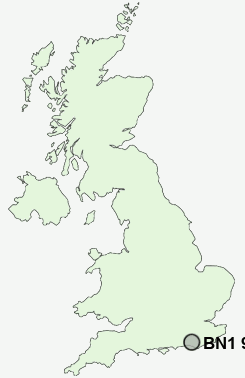
Postcode : BN1 9EN, Arundel, West Sussex
Kenwards, Brighton, The City of Brighton and Hove.
BN1 9EN close to Stanmer, Coldean and Hollingbury.
Classification
BN1 9EN : Multicultural metropolitans / Rented family living / Commuters with young families
Local Authority Brighton and Hove
Primary Care Trust Brighton and Hove City
Ward Hollingdean and Stanmer
Constituency Brighton, Pavilion
Region South East
Country England
Postcode Area BN : Brighton
BN1 Postcode Sectors
BN1 9EN Nearby Postcode Districts
BN1 BN10 BN11 BN12 BN13 BN14 BN15 BN16 BN2 BN20 BN21 BN22 BN25 BN26 BN27 BN3 BN41 BN42 BN43 BN44 BN45 BN5 BN6 BN7 BN8 BN9 RH15 RH20 TN21
Stations near to BN1 9EN
Falmer Rail Station about 1.12 miles away.Moulsecoomb Rail Station about 1.31 miles away.
London Road (Brighton) Rail Station about 2.24 miles away.
Preston Park Rail Station about 2.29 miles away.
Brighton Rail Station about 2.8 miles away.
BN1 9EN Schools
Falmer High SchoolPatcham High School
Patcham Junior School
Varndean School
Patcham Infant School
Bevendean Primary School
Dorothy Stringer School
UK Search
Antique Clocks
Browse Antique Clocks for sale from British antique dealers.