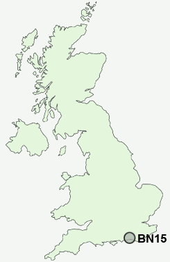
Postcode : BN15 9NZ, West Sussex
Irene Avenue, Lancing.
BN15 9NZ close to North Lancing, Sompting, Lancing, South Lancing and Sompting Abbotts.
Classification
BN15 9NZ : Urbanites / Urban professionals and families / White professionals
Local Authority Adur
Primary Care Trust West Sussex
Ward Manor
Constituency East Worthing and Shoreham
Region South East
Country England
Postcode Area BN : Brighton
BN15 Postcode Sectors
BN15 9NZ Nearby Postcode Districts
BN1 BN10 BN11 BN12 BN13 BN14 BN15 BN16 BN17 BN18 BN2 BN3 BN41 BN42 BN43 BN44 BN45 BN5 BN6 BN7 BN8 BN9 PO21 PO22
Stations near to BN15 9NZ
Lancing Rail Station about 0.45 miles away.East Worthing Rail Station about 1.47 miles away.
Worthing Rail Station about 2.39 miles away.
BN15 9NZ Schools
Oakfield Middle SchoolWillows First School,The
Boundstone Community College
North Lancing Primary School
Thornberry Middle School
Templars First School, Sompting
White Styles Middle School
Bramber Primary School
Downsbrook Primary School
Lyndhurst Infant School
Whytemead Primary School
Chesswood Junior School
UK Search
Antique Clocks
Browse Antique Clocks for sale from British antique dealers.