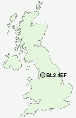
Postcode : BL2 4EF, Harwood, Bolton, Greater Manchester
Hardy Mill Road, Bolton.
BL2 4EF close to Harwood, Harwood Lee, Side of the Moor, Firwood Fold and Bradshaw.
Classification
BL2 4EF : Suburbanites / Semi-detached suburbia / Older workers and retirement
Local Authority Bolton
Primary Care Trust Bolton Teaching
Ward Bradshaw
Constituency Bolton North East
Region North West
Country England
Postcode Area BL : Bolton
BL2 Postcode Sectors
BL2 4 Bromley Cross, Firwood Fold, Harwood, Harwood Lee, Side of the Moor
BL2 1 Darcy Lever
BL2 2 Mill Hill, Tonge Fold, Tonge Moor
BL2 1 Darcy Lever
BL2 2 Mill Hill, Tonge Fold, Tonge Moor
BL2 4EF Nearby Postcode Districts
BB3 BL0 BL1 BL2 BL3 BL4 BL5 BL6 BL7 BL8 BL9 M24 M25 M26 M27 M28 M29 M35 M38 M40 M45 M46 M7 M8 M9 OL1 OL10 OL11 OL12 OL13 OL15 OL16 OL2 OL3 OL4 OL5 OL8 OL9 PR25 PR26 PR6 PR7 WN1 WN2 WN3 WN5 WN6 WN8
Stations near to BL2 4EF
Hall i' th' Wood Rail Station about 1.3 miles away.Bromley Cross Rail Station about 1.47 miles away.
Bolton Rail Station about 2.59 miles away.
Moses Gate Rail Station about 3.22 miles away.
BL2 4EF Schools
Hardy Mill Primary SchoolHarwood Meadows Primary School
Withins School
Castle Hill Primary School
Turton School
Leverhulme Community Primary School
Eagley Junior School
UK Search
Antique Clocks
Browse Antique Clocks for sale from British antique dealers.