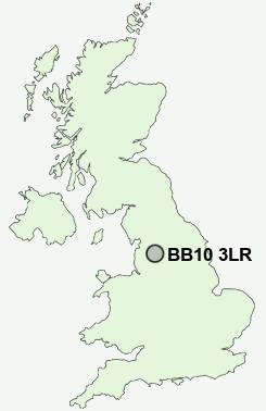
Postcode : BB10 3LR, Worsthorne, Lancashire
Brownside Road, Worsthorne, Burnley.
BB10 3LR close to Worsthorne, Brownside, Pike Hill and Hurstwood.
Classification
BB10 3LR : Hard-pressed living / Challenged terraced workers / Deprived blue-collar terraces
Local Authority Burnley
Primary Care Trust East Lancashire Teaching
Ward Cliviger with Worsthorne
Constituency Burnley
Region North West
Country England
Postcode Area BB : Blackburn
BB10 Postcode Sectors
BB10 3LR Nearby Postcode Districts
BB1 BB10 BB11 BB12 BB2 BB3 BB4 BB5 BB6 BB7 BB8 BB9 BD13 BD14 BD15 BD16 BD21 BD22 HX1 HX2 HX3 HX6 HX7 OL13 OL14
Stations near to BB10 3LR
Brierfield Rail Station about 3.01 miles away.Nelson Rail Station about 3.28 miles away.
BB10 3LR Schools
Worsthorne Primary SchoolBurnley Brunshaw Primary School
Unity College
Sir John Thursby Community College
St Mary's Roman Catholic Primary School, Burnley
Blessed Trinity RC College
Briercliffe Primary School
Burnley Heasandford Primary School
UK Search
Antique Clocks
Browse Antique Clocks for sale from British antique dealers.