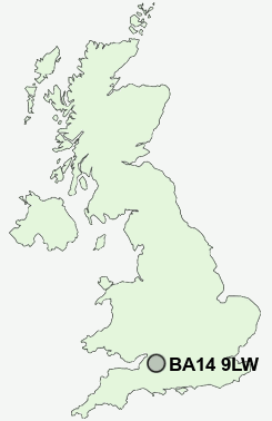
Postcode : BA14 9LW, Wingfield, Wiltshire
Church Lane, Wingfield, Trowbridge.
BA14 9LW close to Wingfield, Studley Green, Hoggington and Southwick.
Classification
BA14 9LW : Rural residents / Farming communities / Agricultural communities
Local Authority Wiltshire
Primary Care Trust Wiltshire
Ward Winsley and Westwood
Constituency South West Wiltshire
Region South West
Country England
Postcode Area BA : Bath
BA14 Postcode Sectors
BA14 6 Ashton Common, Bleet, Bullenhill, Cold Harbour, Dunge
BA14 0 Drynham, North Bradley, Southwick, Upper Studley
BA14 7 Hilperton, Hilperton Marsh
BA14 0 Drynham, North Bradley, Southwick, Upper Studley
BA14 7 Hilperton, Hilperton Marsh
BA14 9 Hoggington, Hoopers Pool, Ireland, Pole's Hole, Studley Green
BA14 8 Longfield, Lower Studley, Trowbridge
BA14 8 Longfield, Lower Studley, Trowbridge
BA14 9LW Nearby Postcode Districts
BA1 BA11 BA13 BA14 BA15 BA2 BA3 BA5 BS31 BS39 SN10 SN12
Stations near to BA14 9LW
Trowbridge Rail Station about 1.88 miles away.Avoncliff Rail Station about 2.4 miles away.
Bradford-on-Avon Rail Station about 2.47 miles away.
Freshford Rail Station about 3.03 miles away.
BA14 9LW Schools
Wingfield CofE Primary School (VA)Studley Green Primary School
Southwick Church of England Primary School
St Augustine's Catholic College
Walwayne Court School
The John of Gaunt School
The Clarendon College
The Grove Primary School
St John's Catholic Primary School, Trowbridge
Westwood-with-Iford Primary School
UK Search
Antique Clocks
Browse Antique Clocks for sale from British antique dealers.