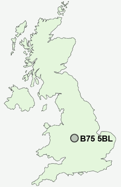
Postcode : B75 5BL, Hill, Birmingham, West Midlands
Mere Green Road, Sutton Coldfield.
B75 5BL close to Hill, Mere Green, Moor Hall, Roughley and Watford Gap.
Classification
B75 5BL : Urbanites / Ageing urban living / Self-sufficient retirement
Local Authority Birmingham
Primary Care Trust Birmingham East and North
Ward Sutton Four Oaks
Constituency Sutton Coldfield
Region West Midlands
Country England
Postcode Area B : Birmingham
B75 Postcode Sectors
B75 5BL Nearby Postcode Districts
B18 B19 B20 B21 B23 B24 B34 B35 B36 B42 B43 B44 B46 B6 B66 B69 B7 B70 B71 B72 B73 B74 B75 B76 B77 B78 B79 B8 CV10 CV11 CV9 DY1 DY2 DY3 DY4 DY6 WS1 WS10 WS14 WS2 WS3 WS4 WS5 WS6 WS7 WS8 WS9 WV1 WV10 WV11 WV12 WV13 WV14 WV2 WV3 WV4 WV5 WV6 WV8 WV9
Stations near to B75 5BL
Butlers Lane Rail Station about 0.5 miles away.Four Oaks Rail Station about 0.56 miles away.
Blake Street Rail Station about 1.36 miles away.
Sutton Coldfield Rail Station about 1.59 miles away.
Wylde Green Rail Station about 2.91 miles away.
B75 5BL Schools
The Arthur Terry SchoolMoor Hall Primary School
Little Sutton Primary School
Hill West Primary School
Little Aston Primary School
UK Search
Antique Clocks
Browse Antique Clocks for sale from British antique dealers.