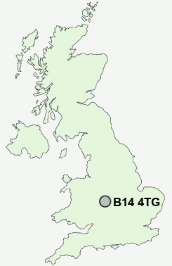
Postcode : B14 4TG, Highter's Heath, Birmingham, West Midlands
Pickenham Road, Birmingham, England.
B14 4TG close to Highter's Heath, Brandwood End and Warstock.
Classification
B14 4TG : Suburbanites / Semi-detached suburbia / Multi-ethnic suburbia
Local Authority Birmingham
Primary Care Trust South Birmingham
Ward Billesley
Constituency Birmingham, Selly Oak
Region West Midlands
Country England
Postcode Area B : Birmingham
B14 Postcode Sectors
B14 4TG Nearby Postcode Districts
B1 B10 B11 B12 B13 B14 B15 B16 B17 B18 B19 B2 B25 B26 B27 B28 B29 B3 B30 B31 B32 B33 B34 B37 B38 B4 B40 B45 B47 B48 B5 B60 B61 B62 B63 B64 B65 B66 B67 B68 B69 B7 B8 B9 B90 B91 B92 B93 B94 B98 CV1 CV3 CV4 CV5 CV6 CV7 CV8 DY10 DY11 DY2 DY5 DY6 DY7 DY8 DY9
Stations near to B14 4TG
Whitlocks End Rail Station about 1.37 miles away.Shirley Rail Station about 1.43 miles away.
Wythall Rail Station about 1.66 miles away.
Earlswood (West Midlands) Rail Station about 2.59 miles away.
Bournville Rail Station about 2.62 miles away.
Hall Green Rail Station about 2.77 miles away.
The Lakes Rail Station about 3.32 miles away.
Spring Road Rail Station about 3.33 miles away.
B14 4TG Schools
Hollywood, The Coppice Primary SchoolPeterbrook Primary School
Mill Lodge Primary School
Kings Heath Boys
Wheelers Lane Primary School
Wythall, Meadow Green Primary
Swanshurst School
Tidbury Green School
UK Search
Antique Clocks
Browse Antique Clocks for sale from British antique dealers.