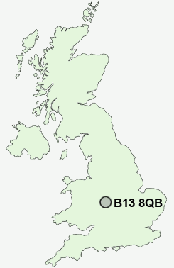
Postcode : B13 8QB, Moor Green, Birmingham, West Midlands
Queensbridge Road, Birmingham.
B13 8QB close to Moor Green, Wake Green and Moseley.
Classification
B13 8QB : Ethnicity central / Aspirational techies / Established tech workers
Local Authority Birmingham
Primary Care Trust South Birmingham
Ward Moseley and Kings Heath
Constituency Birmingham, Hall Green
Region West Midlands
Country England
Postcode Area B : Birmingham
B13 Postcode Sectors
B13 8QB Nearby Postcode Districts
B1 B10 B11 B12 B13 B14 B15 B16 B17 B18 B19 B2 B20 B21 B23 B24 B25 B26 B27 B28 B29 B3 B30 B31 B32 B33 B34 B35 B36 B37 B38 B4 B40 B42 B45 B46 B47 B48 B5 B6 B61 B62 B63 B64 B65 B66 B67 B68 B69 B7 B70 B71 B8 B9 B90 B91 B92 B93 B94 CV1 CV10 CV4 CV5 CV6 CV7 CV8 DY1 DY10 DY11 DY2 DY3 DY4 DY5 DY6 DY7 DY8 DY9 WV5
Stations near to B13 8QB
Bournville Rail Station about 1.69 miles away.Bordesley Rail Station about 2.22 miles away.
Birmingham New Street Rail Station about 2.53 miles away.
Birmingham Moor Street Rail Station about 2.61 miles away.
Birmingham Snow Hill Rail Station about 2.91 miles away.
Adderley Park Rail Station about 3.3 miles away.
Duddeston Rail Station about 3.39 miles away.
Jewellery Quarter Rail Station about 3.42 miles away.
B13 8QB Schools
Queensbridge SchoolKings Heath Primary School
Wheelers Lane Primary School
Selly Park Technology College for Girls
Swanshurst School
Clifton Primary School
Kings Heath Boys
Moseley School and Sixth Form
Golden Hillock School A Specialist College for Sports and The Arts
UK Search
Antique Clocks
Browse Antique Clocks for sale from British antique dealers.