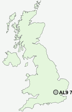
Postcode : AL9 7QY, Brookmans Park, Hertfordshire
Bradmore Way, Brookmans Park, Hatfield.
AL9 7QY close to Brookmans Park, Welham Green and Bell Bar.
Classification
AL9 7QY : Suburbanites / Semi-detached suburbia / Multi-ethnic suburbia
Local Authority Welwyn Hatfield
Primary Care Trust Hertfordshire
Ward Brookmans Park and Little Heath
Constituency Welwyn Hatfield
Region Eastern
Country England
Postcode Area AL : St Albans
AL9 Postcode Sectors
AL9 6 Bell Bar, Essendon, Lower Woodside, West End, Wildhill
AL9 7 Brookmans Park, Water End, Welham Green
AL9 7 Brookmans Park, Water End, Welham Green
AL9 7QY Nearby Postcode Districts
AL1 AL10 AL2 AL3 AL4 AL5 AL7 AL8 AL9 CM16 CM17 CM18 CM19 CM20 CM21 EN1 EN10 EN11 EN2 EN3 EN4 EN5 EN6 EN7 EN8 EN9 HP1 HP2 HP3 HP4 HP6 HP8 IG10 N14 N20 N21 N9 RM4 SG12 SG13 SG14 WD1 WD17 WD18 WD19 WD2 WD23 WD24 WD25 WD3 WD4 WD5 WD6 WD7
Stations near to AL9 7QY
Brookmans Park Rail Station about 0.26 miles away.Welham Green Rail Station about 0.92 miles away.
Potters Bar Rail Station about 1.92 miles away.
Hatfield (Herts) Rail Station about 2.8 miles away.
AL9 7QY Schools
Brookmans Park Primary SchoolChancellor's School
Mount Grace School
Cranborne Primary School
Little Heath Primary School
The Wroxham School
UK Search
Antique Clocks
Browse Antique Clocks for sale from British antique dealers.